|
 |
| Featured Project |
| Chicago Riverwalk - State Street to LaSalle Street, Chicago, Illinois |
 |
|
| Ten years ago, the shore of the polluted Chicago River was the last place tourists would want to go for a stroll; it’s since being hailed as the city’s second waterfront. Beginning in the 1980s, Chicago officials have sought to create a continuous walkway along the river in downtown Chicago. Moveable bridges span the river at every block and can be opened and closed for boat traffic, so riverwalk construction could pose no obstructions to the mechanical systems at the base of each bridge. Extending the riverwalk required the city to build new walkways beneath each bridge, and into the riverway. This plan required the cooperation of many agencies of governement including the US Army Corps of Engineers and the Coast Guard. |
|
 |
|
|
 |
|
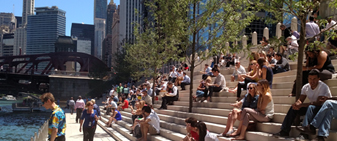
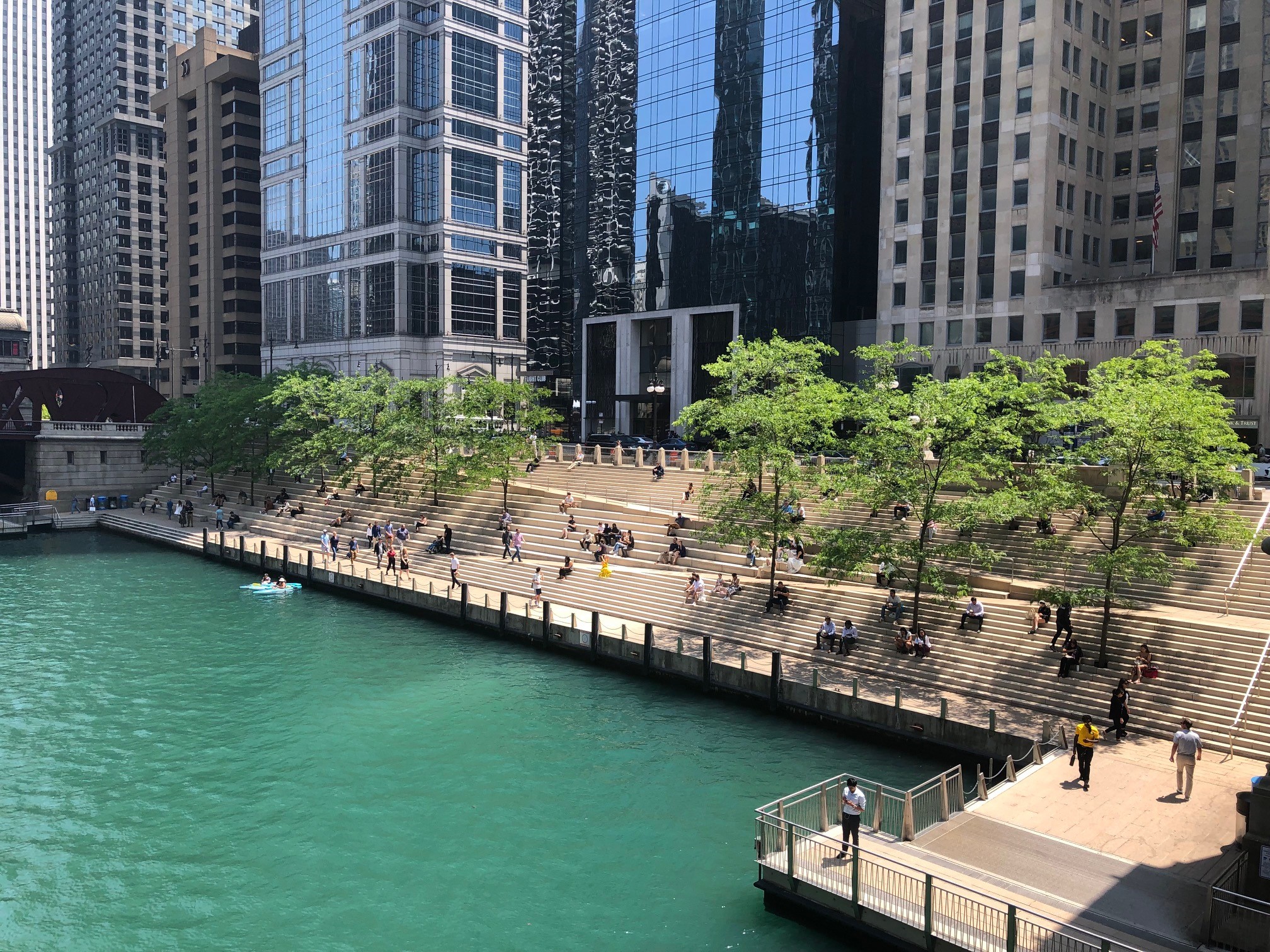
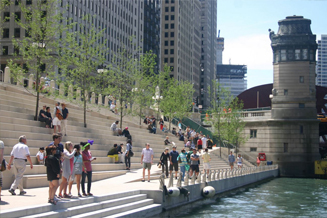
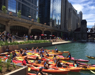
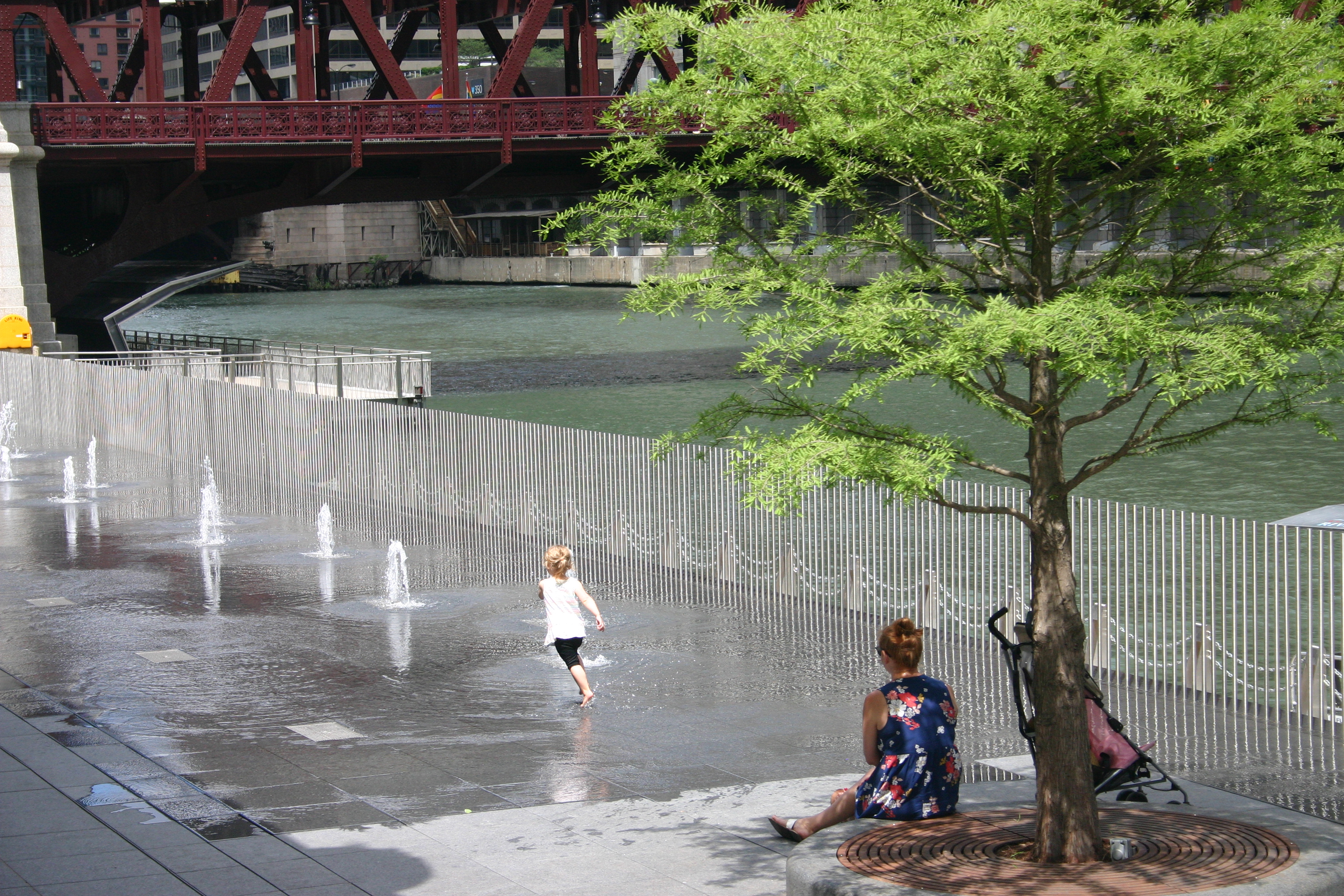
The Chicago Riverwalk now creates a continuous parkway extending from Lake Michigan to the confluence of the three branches of the Chicago River with a series of inviting, naturalistic recreation spaces, restaurants, and floating gardens along the south bank of the river. The first three new segments included the Marina (State to Dearborn) which provides amenities for boats to dock; the Cove (Dearborn to Clark) a place for kayaks; and the River Theater (Clark to LaSalle) which provides urbanists with seating for river-watching.
|
|
|
 |
|
 |
|
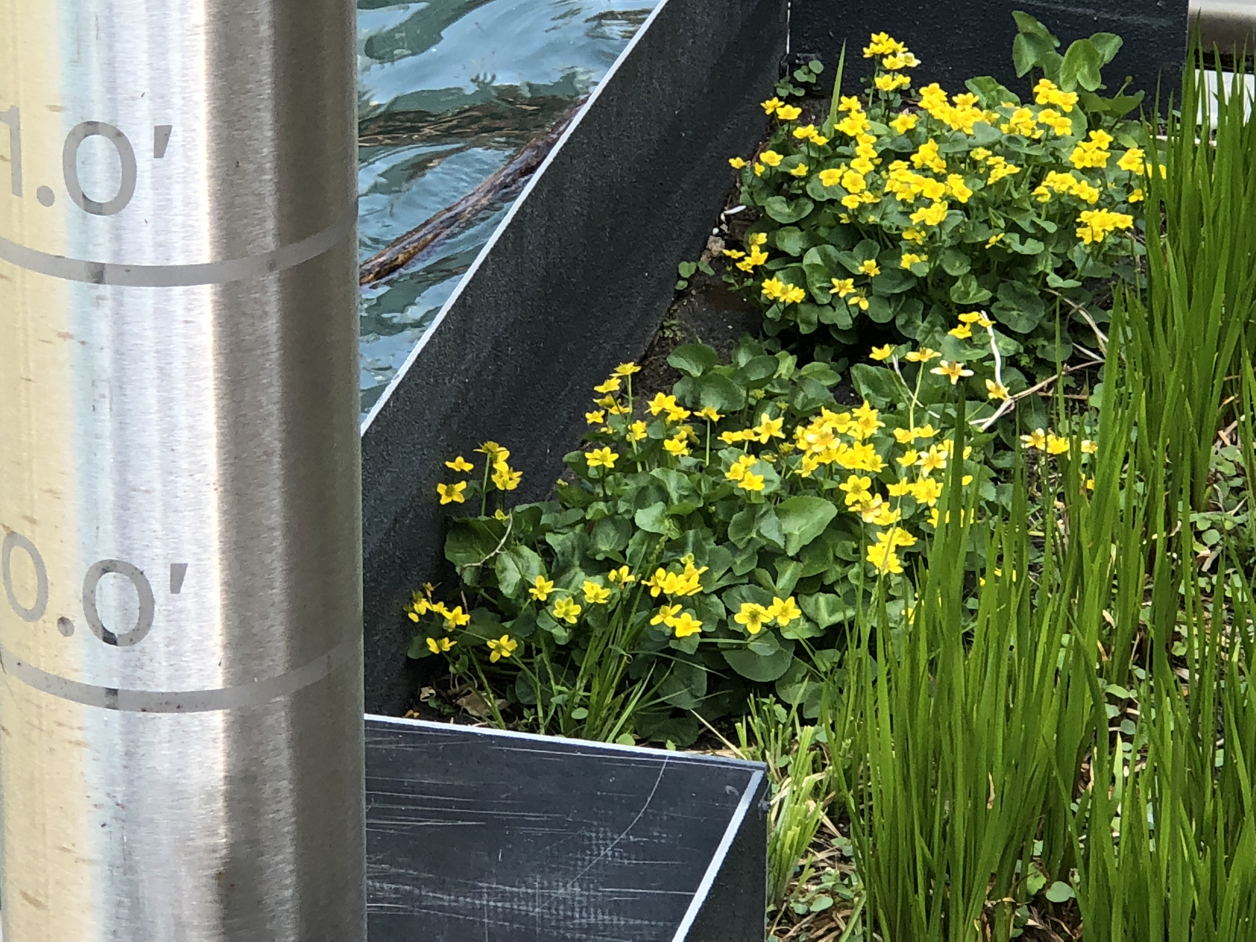
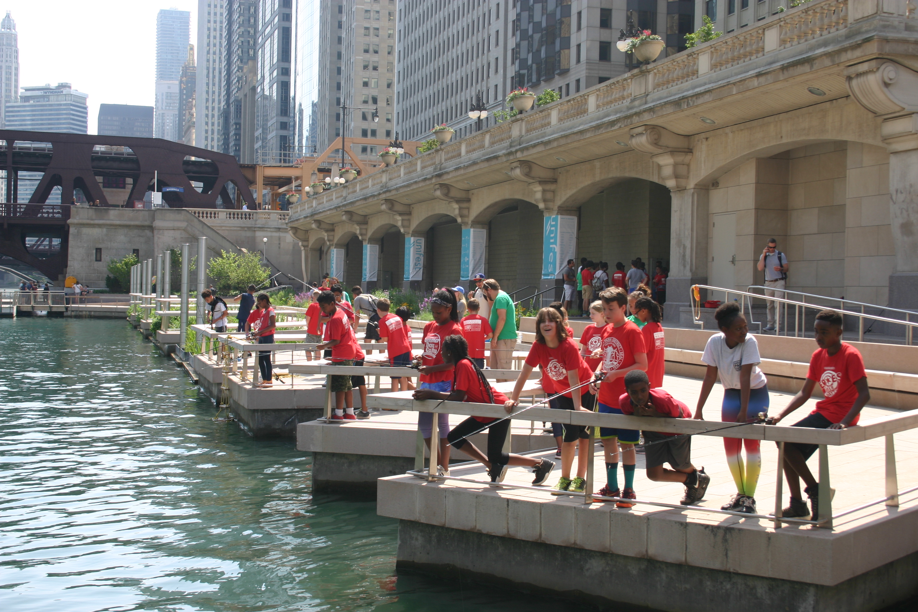
The Phase 3 set of Riverwalk "rooms" included The Water Plaza (LasSalle to Wells), a place for splashing in summer, The Jetty (Wells to Fair backs), a place to fish and observe water level fluctuations, and The Riverfront (Fairbacks to Lake), a place for sunning on the lawn.
Client: Chicago Department of Transportation; Prime Consultant: Sasaki Associates; Architect: Ross Barney Architects; Engineers: Alfred E Benesch |
|
 |
|
 |
|
|